

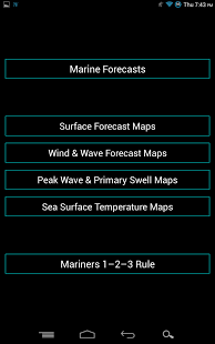

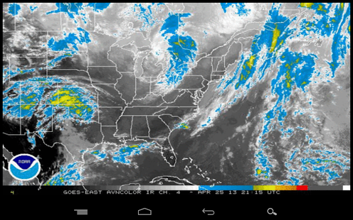


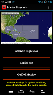


Features include: - Advisory info - Forecast cones - Wind speed probabilities - Spaghetti models - 12 high quality NOAA satellite loops - 12 high quality GOES satellite loops - Marine forecast information - Tropical Outlook Widgets - Surface Maps - Wind & Wave Maps - Peak Wave & Primary Swell Maps - Sea Surface Temperature Maps - and more!
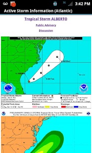
Thanks to the National Hurricane Center, information is updated hourly for both the Atlantic and Pacific regions. If a storm forms or changes, you will know.
*** To see the tracks and models, you must tap the storm name in the Active Storm Info section. ***
Please note, we are not affiliated with the National Hurricane Center.
Please let us know if you have any problems.Be sure to include device information.